

Ground Penetrating Radar (GPR) is a non-invasive geophysical survey technique used to investigate subsurface conditions without excavation. GPR identifies and maps underground features by transmitting high-frequency electromagnetic waves into the ground.
The technology is widely used for utility mapping, infrastructure development, construction planning, geotechnical investigations, and structural assessments where accurate underground information is essential before excavation or development begins.
Ground Penetrating Radar (GPR) Survey Services
Accurate, non-destructive subsurface investigations for utility mapping, buried structure detection, and site assessment using advanced GPR technology.

What is a Ground Penetrating Radar(GPR) Survey?

Why Ground Penetrating Radar?
Ground Penetrating Radar provides valuable underground information while eliminating the need for unnecessary excavation. It is a fast, reliable, and non-destructive investigation method that helps reduce project risks and supports informed decision-making.
Benefits:
- No excavation required
- Non-destructive investigation method
- Identification of buried structures
- Accurate utility detection
- Minimal disruption to site operations
- Detection of underground voids and cavities
- Rapid data collection and interpretation
- Suitable for roads, buildings, industrial sites, and open land
Our GPR Survey Solutions
We provide Ground Penetrating Radar surveys for a wide range of applications across industrial, commercial, institutional, and infrastructure projects.

Underground Utility Mapping
Identification of water pipelines, electrical cables, telecommunication lines, drainage systems, gas pipelines, and other buried utilities before excavation.

Void & Cavity Detection
Detection of underground voids, sinkholes, cavities, and weak zones that may affect structural stability.

Buried Structure Detection
Locating foundations, concrete slabs, underground tanks, abandoned structures, and other concealed construction elements.

Structural Investigation
Assessment of reinforced concrete elements, slab thickness, reinforcement layout, and structural components without damaging existing structures.

Pre-Construction Site Investigation
Subsurface investigations to support construction planning, excavation, utility relocation, and infrastructure development.
Applications Across Industries
Our GPR surveys support projects across multiple sectors, including:
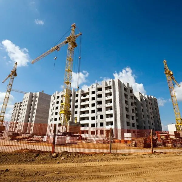
Construction
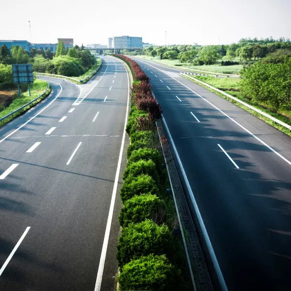
Highways & Roads
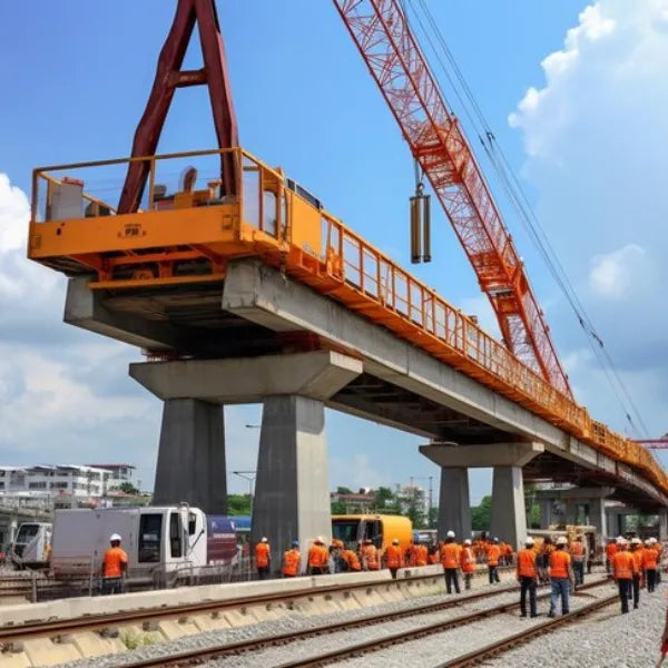
Infrastructure Development

Airports
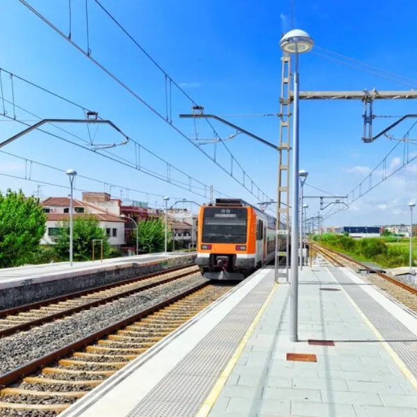
Railways
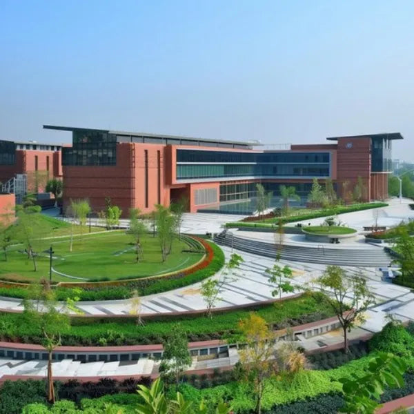
Educational Institutions

Commercial Developments
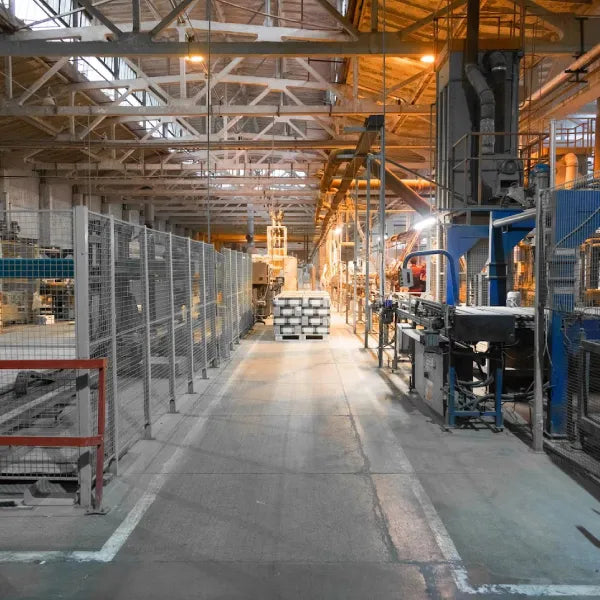
Industrial Facilities
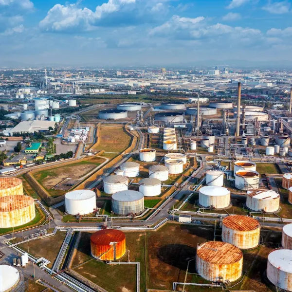
Oil & Gas

Government Projects

Smart City Projects
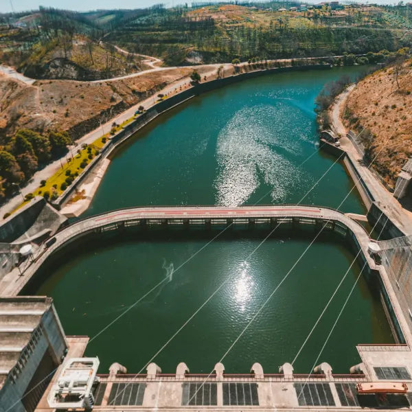
Water Supply Projects
Our Survey Process
1. Site Assessment

We understand project requirements and identify the scope of investigation.
2. Survey Planning

The survey methodology, equipment, and grid layout are prepared based on site conditions.
3. Field Investigation

Ground-penetrating radar equipment is deployed to collect subsurface data across the survey area.
4. Data Interpretation
Collected radar data is processed and interpreted by experienced professionals.
5. Reporting

A detailed survey report, including findings, observations, and recommendations, has been submitted.

Why Work With Us?
- Experienced hydrogeologists and geophysical specialists
- Non-destructive investigation techniques
- Advanced Ground Penetrating Radar equipment
- Timely project execution
- Accurate data interpretation
- Technical reporting and documentation
- Commitment to quality and safety
- Services across industrial, commercial, and infrastructure sectors
Need a Professional GPR Survey?
Whether you're planning construction, locating underground utilities, or conducting a site investigation, our experienced team can provide reliable Ground Penetrating Radar surveys tailored to your project requirements.

Frequently Asked Questions
The depth of detection depends on factors such as soil conditions, moisture content, material type, and the antenna frequency used. Our team selects the appropriate equipment based on the specific requirements of each project.
A typical report includes the survey methodology, interpreted findings, locations of identified subsurface features, marked survey areas where applicable, and technical observations to support planning, design, or excavation activities.
Yes. Ground Penetrating Radar is a non-invasive survey method that can often be performed with minimal disruption, making it suitable for operational industrial facilities, commercial properties, roads, and active construction sites.
GPR performs well in many soil and pavement conditions. However, factors such as highly conductive soils, excessive moisture, or certain geological formations can affect signal penetration. Our specialists assess site conditions before recommending the most suitable survey approach.
Ground Penetrating Radar surveys are widely used across construction, infrastructure, transportation, utilities, manufacturing, educational institutions, government projects, and commercial developments where accurate subsurface information is required.
Conducting a GPR survey before excavation helps identify underground utilities and hidden obstructions, reducing the risk of accidental damage, project delays, safety hazards, and unexpected costs during construction.
Yes. Ground Penetrating Radar can detect a wide range of underground utilities, including metallic and non-metallic pipelines, conduits, and cables. The effectiveness of detection depends on factors such as the material, depth, surrounding soil conditions, and the quality of the reflected signals.
In most cases, minimal site preparation is required. Providing access to the survey area and sharing available utility drawings or site plans, if available, can help improve survey planning and the interpretation of results. Our team will advise on any specific requirements before commencing the survey.